Distance: 8.8Km from the Village Inn. It’s 7.3Km if you park at the Ridgeway cross-roads. Height: 132m

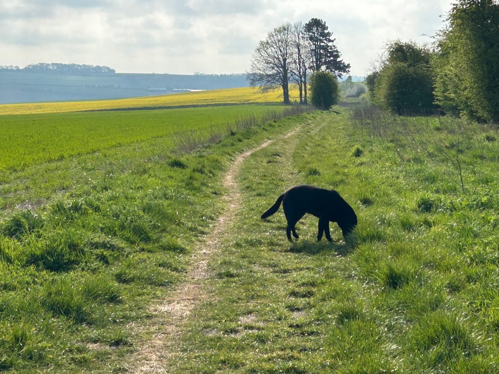
This is a favourite and regular walk with Rocky, and also my favourite run. It’s not a well-used path and the chance of meeting anyone until you get to the dog walkers of Aldbourne is remote. But the beauty of the rolling hills, the expanse and remoteness and yet so close to home, the downhill sprinting for intermittent fartlek runs and feeling “Chariots of Fire” in your head – it’s truly wonderful.
My recommendation is that you plan the route, so you have time to browse and have a cuppa in Aldbourne and then get the bus back. If you have children with you, it can become an adventure.
The bus service is reliable in arriving on time, but the frequency is not good. There are no busses on Sunday or Saturday afternoon. During the week they run every hour. Check the timetable first for 46A, 48, 48A and X46 on https://www.swindonbus.co.uk/services
If you don’t trust the reliability of the bus (!), you could get the bus from Liddington to Aldbourne and walk back.
The walk starts at the Village Inn. Turn left and go up The Street to the end of the road. There’s little traffic on this road.
At the top of the Street be careful crossing the B4192. You’re aiming for a footpath sign on the far side of the road. It’s a bit bent at the present but it’s on the list for beautifying this part of the village.
Go into the field and turn left. This is a permissive path. There was a change of owners recently and the new farmer has very kindly agreed to keep the permissive path.
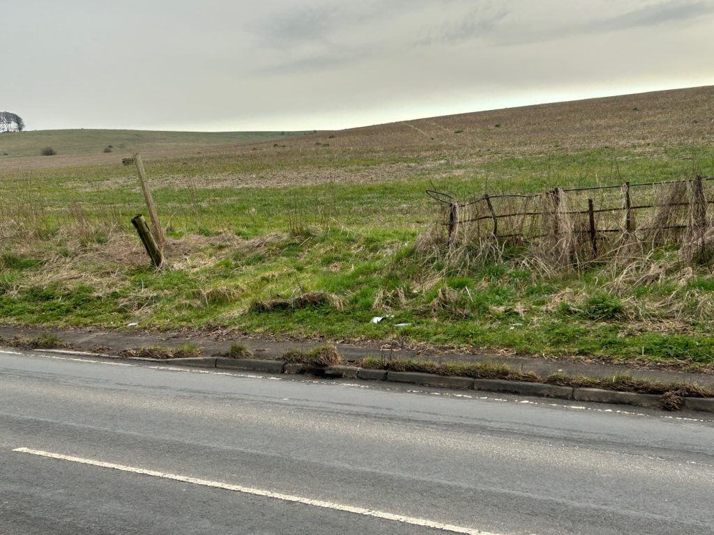
This will take you to the M4 bridge. Walk inside the barrier and there’s a safe footpath on the verge beyond the bridge that will take you to the crossroads.
NOTE: If you are unsure about this part of the walk from the village, you could take your car and park on the right at the crossroads.
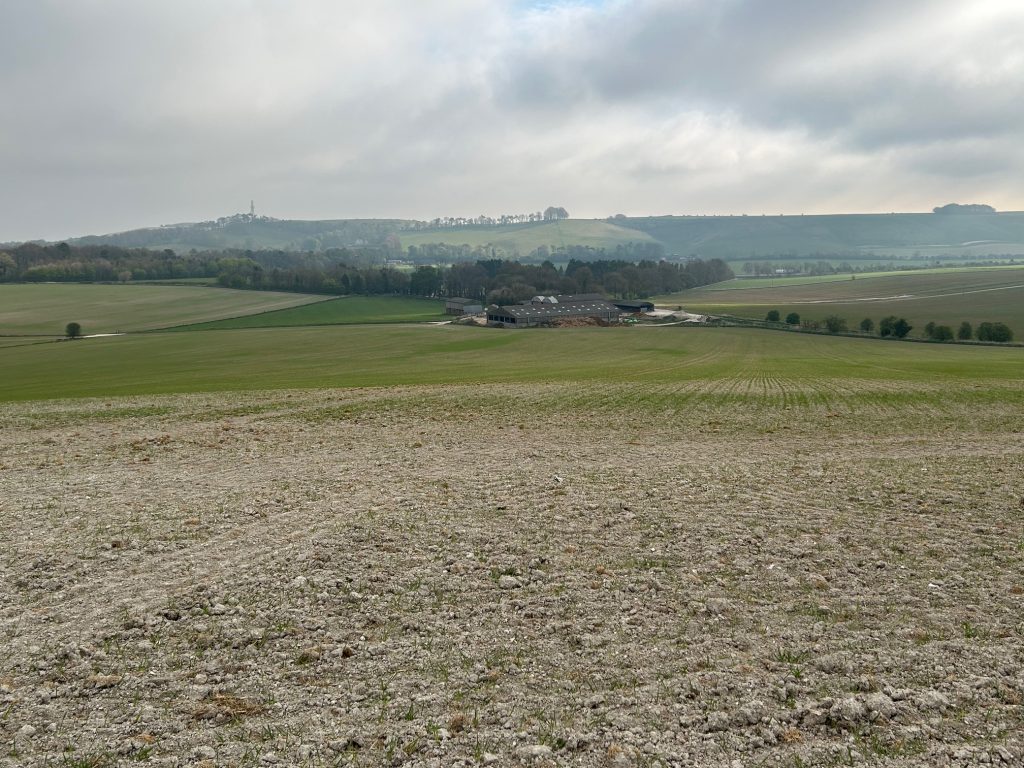
The walk turns sharply away from the noise of the road by a hedge and leads up a short slope to a place worth stopping to catch your breath. You can see the snake of traffic on the M4, Fox Hill where the phone mast is, several dwellings towards the Liddington Hotel and the Burj, a fine Indian restaurant.
The Burj used to be known as the Shepherds Rest pub, and it really irritated me as there was no apostrophe in the name. Was it one shepherd or multiple shepherds? Another conversation with the kids!
Continue over the Ridgeway road on the right-hand side of the road. Just beyond the large roadway sign you’ll see a marker for the right of way on the other side of the road. Be careful crossing the road and you’re into the field. The path is marked to your right. Don’t rush though, as a few steps along you’ll see a fox hole under the path. Lots to chat to kids about there!
Keep walking and soon you’ll move away from the B4192 and you can let your dog and children loose.
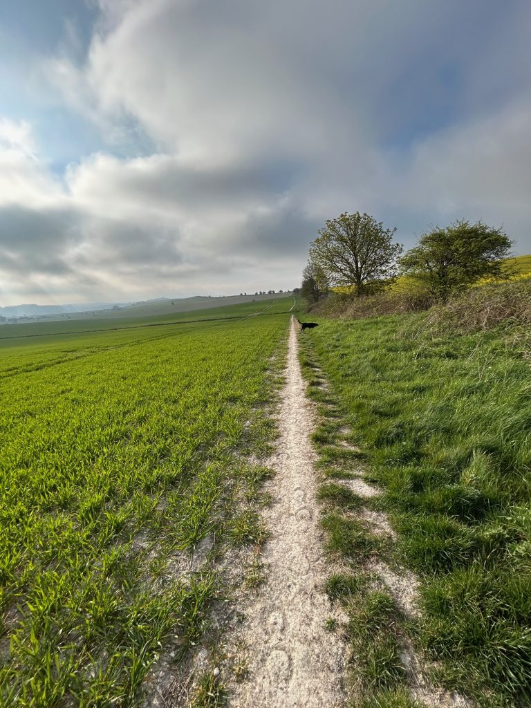
You have a good view of Manor Farm. Robert and Charley Bland are regulars in the Village Inn and they can tell a story or two. Go through the next gate and enjoy this lovely track. Even after winter rain, it’s always dry and you can see why it appeals to a runner.
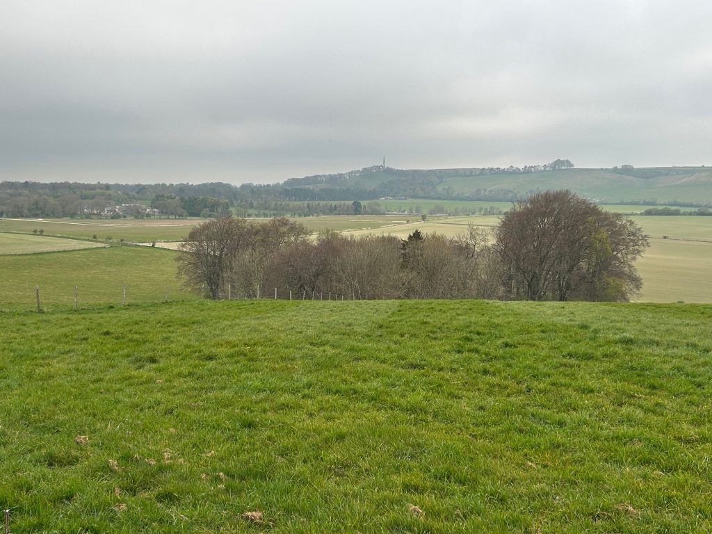
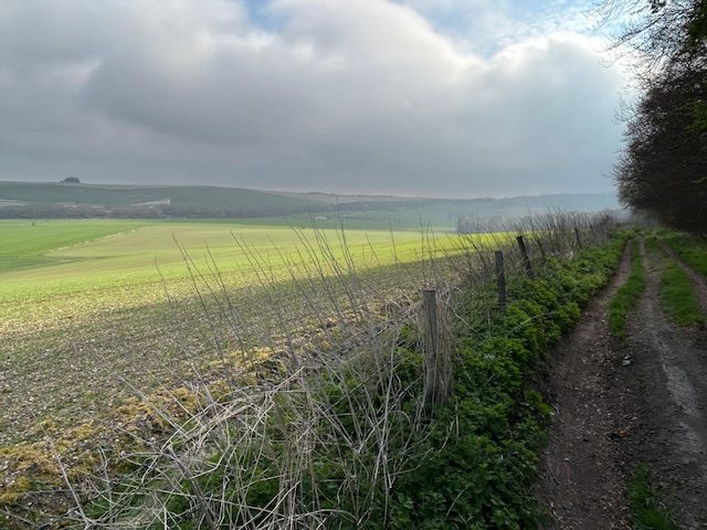
In the images below, on your left, you’ll see two gorgeous deciduous woods, called The Moon and the Half Moon. I had the pleasure of running through them some years back before Robert reminded me that they were private! I have fond memories of them, and even based a short story on the Half Moon.
As this walk was photographed in April, you won’t see the woods in their glory yet.
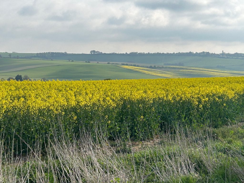
The track steepens a bit here as you look down on Liddington Warren Farm which has facilities for music events and weddings and is farmed by the Ford family.
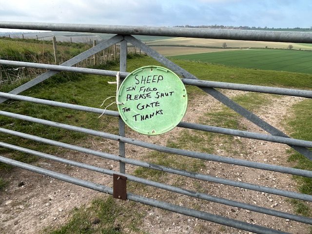
You’ll also see sheep so be careful with your dog. I like this sign. It shows respect and is caring – so different to many “keep out of here” aggressive signs.
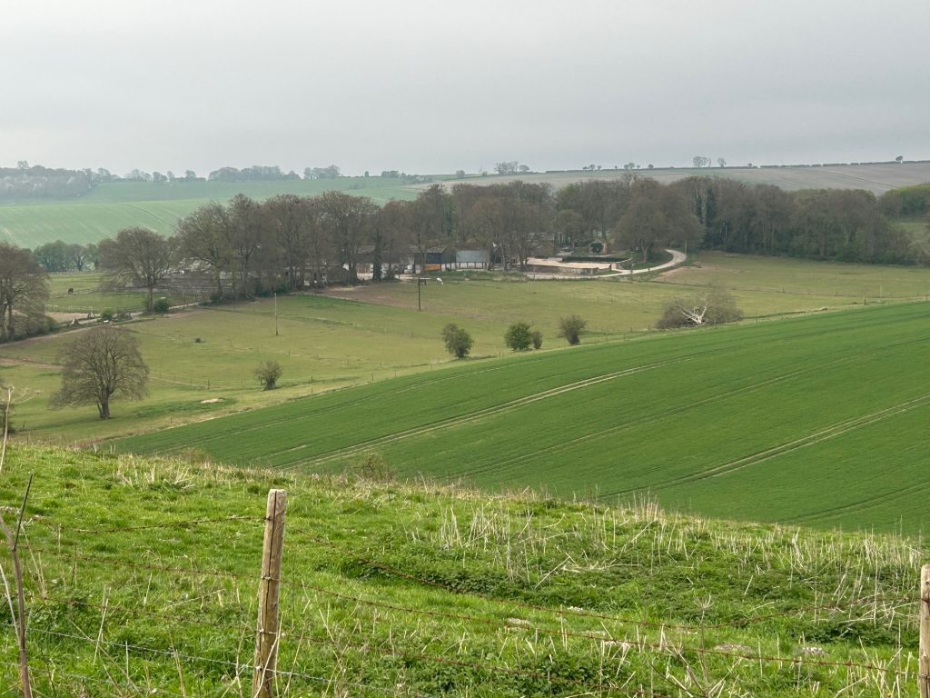
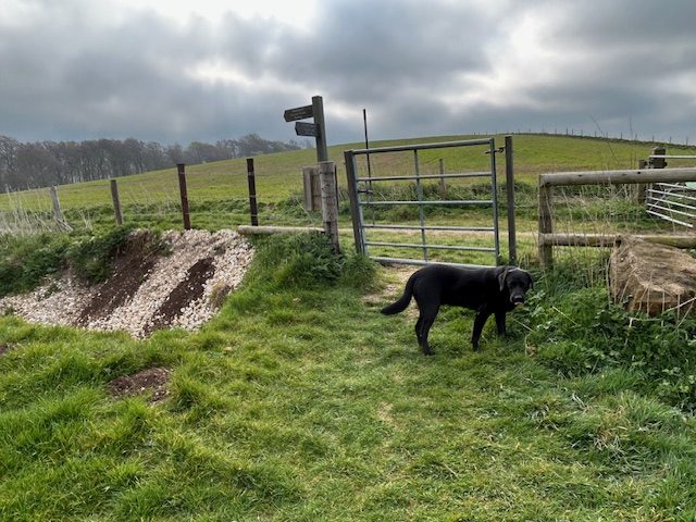
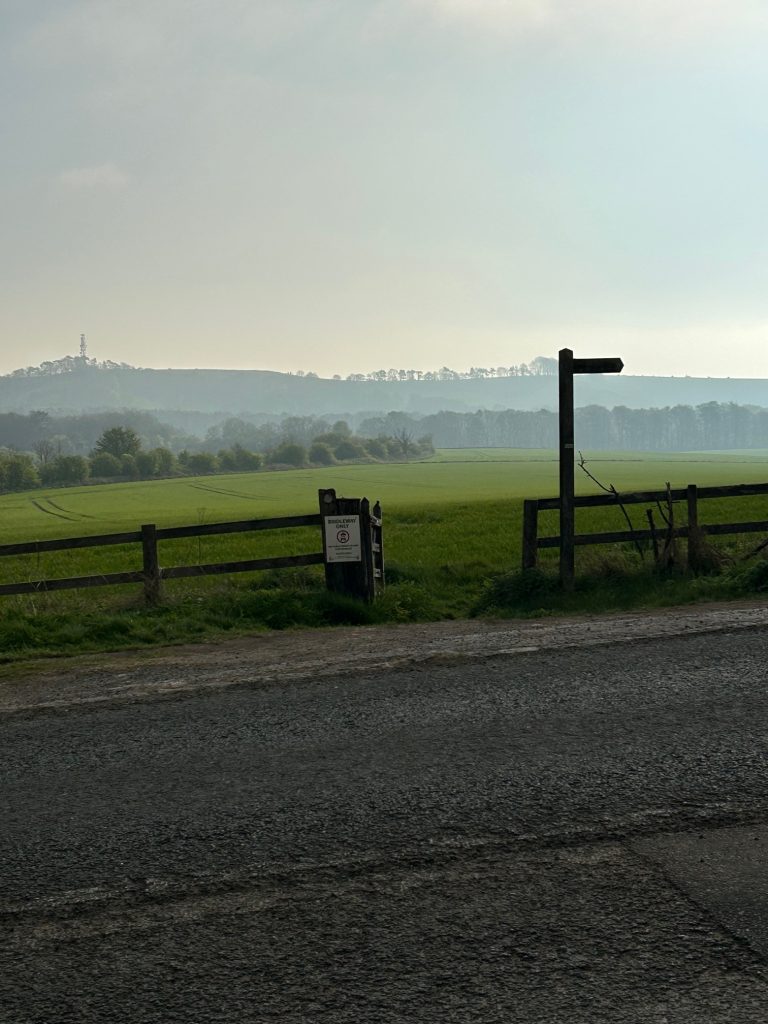
You now come to another circular gate. Liddington Hill is off to your right and will soon be out of sight. Go left for about a hundred metres and there’s a signpost to go right. Before you turn right, enjoy the view towards the motorway, the silent lines of traffic snaking the brow.
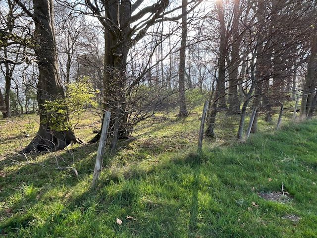
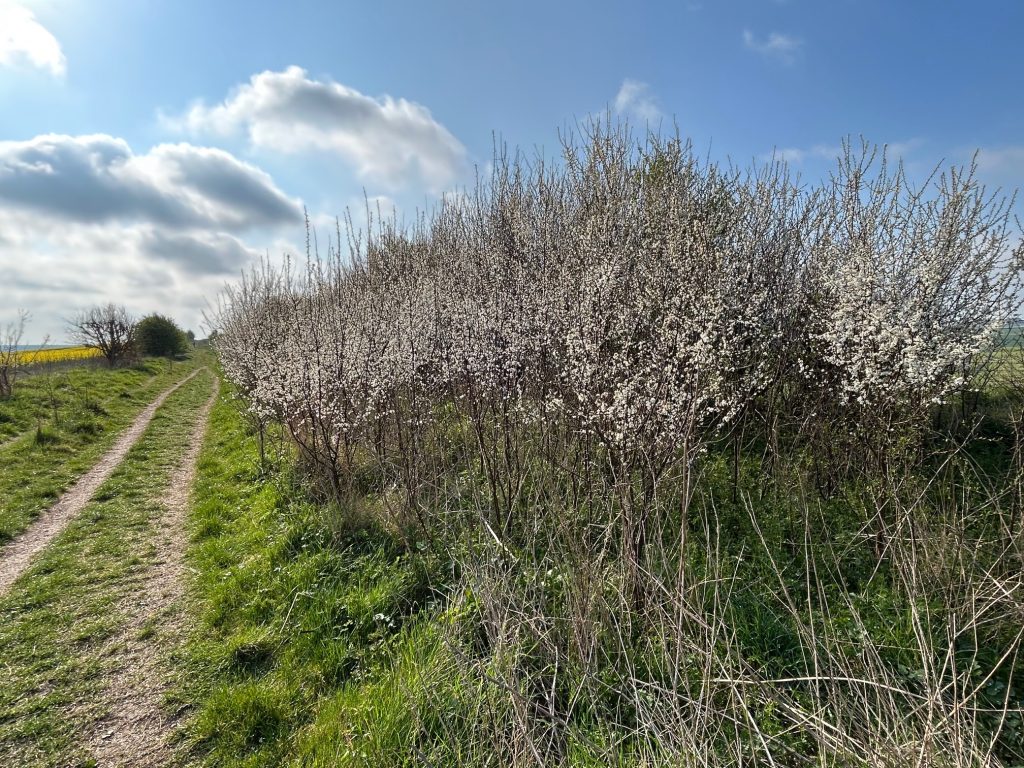
Beyond the gate there’s a lovely deciduous wood. A local told me the farmer doesn’t mind people strolling in there and coming out again about a hundred metres up the hill – which is my way.
This could be a truffle wood. In England, truffles are mostly found near the roots of oak, hazel, beech, and birch trees and this is a perfect spot. Truffles are mycorrhizal with these tree species, meaning they form a symbiotic relationship with the roots, benefiting both the fungus and the tree.
A friend of mine spent a year training his spaniel to sniff truffle oil. He’d dig a hole and put truffle oil in it in and the spaniel was on it so quickly. It was very impressive. He came up here to try the spaniel out on these woods. The spaniel was perfect on truffle oil but not so great on digging for truffles. They’re still safe.
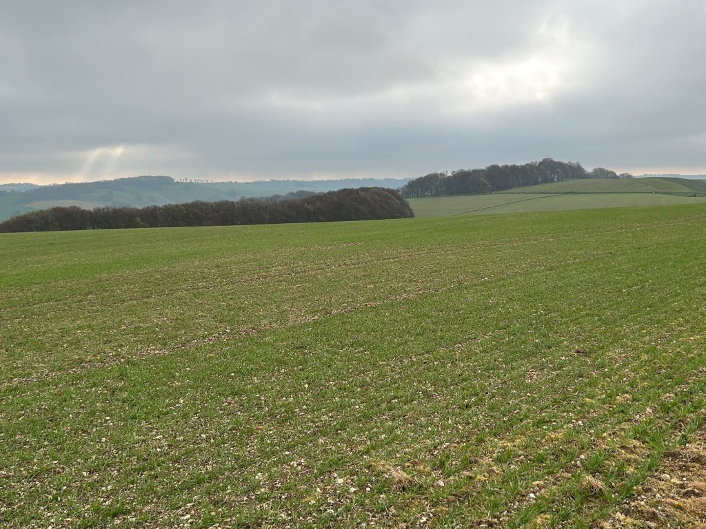
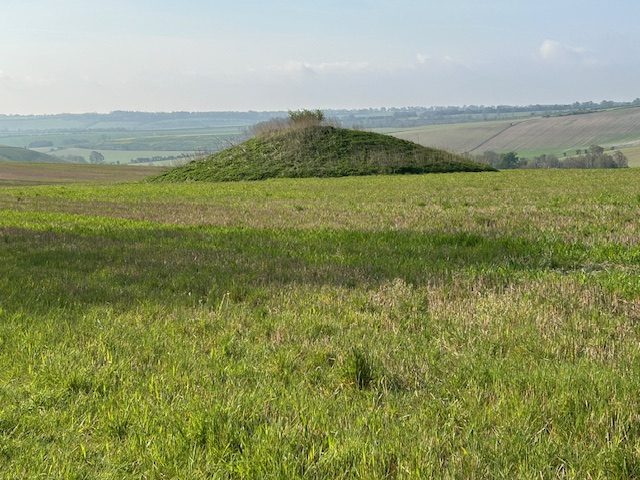
You’re on Sugar Hill now and the beginning of the Barrows that are common around Aldbourne. As you descend, on your right there’s a small mound. This is a bowl barrow about 3m high and 23m in diameter. Most bowl barrows date from the period 2400-1500 BC. The site was partially excavated by Canon Greenwell, a prolific excavator of barrows, between 1885 and 1890. Finds included the cremated remains of an adult set in a cist, or stone-lined box, and covered by a cairn. The cremation was accompanied by a bronze dagger and bone pin.
Walk up it for a good view. Strangely, Rocky won’t walk up it . . .
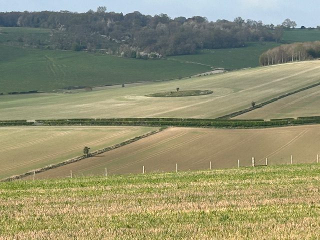
You’ll see another mound slightly to your right on the far slope, easily identified as the farmer sows around it.
Behind you there is a major mound but it’s on private property in the farmer’s field and it’s easy to get snarled on the barbed wire.
As you pass the brow of the hill, you’ll see a telephone post on its own in front of you. That’s one of my fartlek posts, a kilometre fast run from the top of the slope to there.
It can be exhilarating, imagining the pressure at the end of a marathon, the crowd of thousands clapping the sprint, your heart rate at vo2max.
Except, I’ve never seen a soul up there on my mad sprint. Probably just as well.
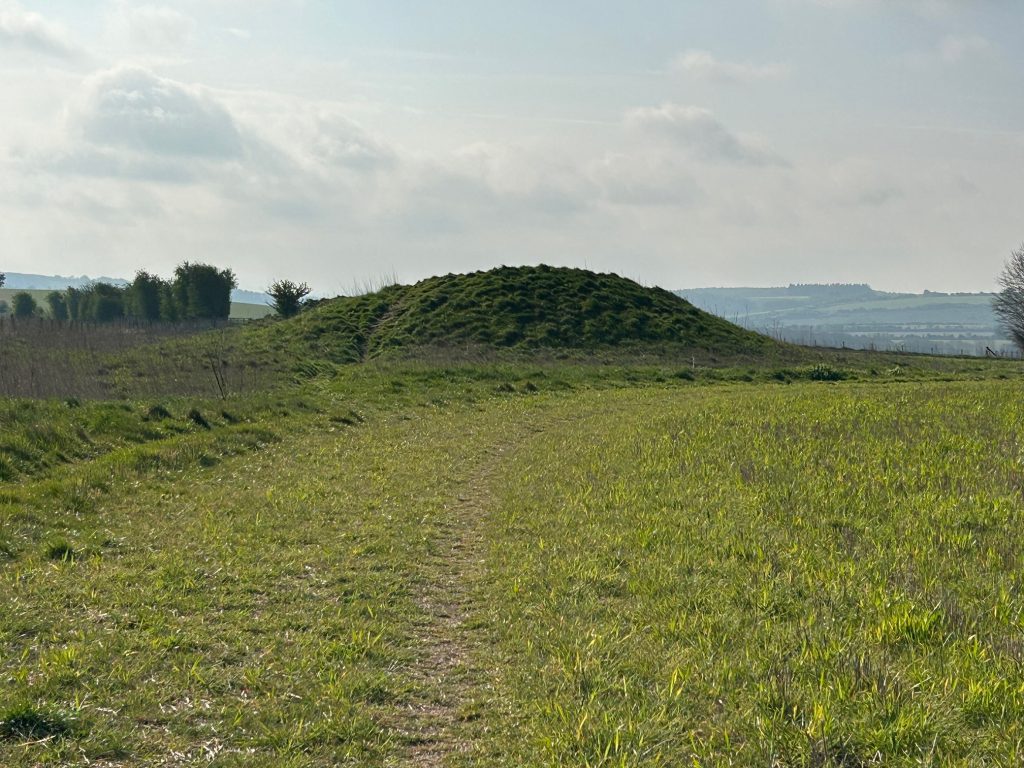
You’ll come to the Four Barrows, a linear barrow cemetery, orientated SE-NW, and comprising three adjoining bell barrows and a bowl barrow to the south of the line.
All of the barrow mounds were partially excavated by Canon Greenwell. Finds included cremation burials, amber beads, flint flakes, a grooved dagger and animal bones.
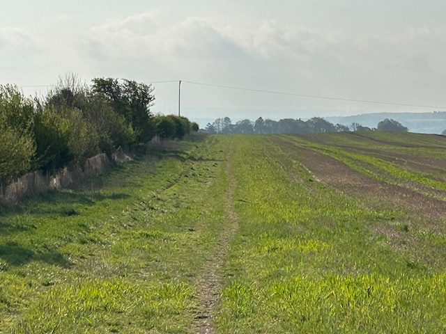
Walk on the right of the barrows to follow the path and send your kids over the mounds to see who gets to the next gate first. You’re on the home stretch now.
If you do this walk in the evening, the sun will settle behind your right shoulder, and you’ll also be in a good place to see the planets in that arc. I often do this walk when the planets are in occlusion (one behind the other) or several are on view just for the hell of it. Again, a beautiful scene all to yourself in dark sky territory.
The path is deceptive here in that it fools you into thinking you’re nearly there. Take your time to observe the remote settlement of houses in the valley to your left. They look idyllic.
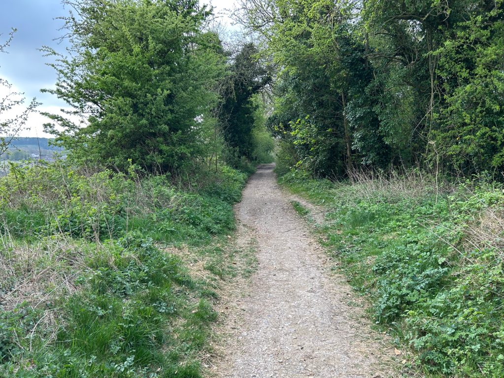
You’ll come now to trees and shrubs on both sides of the path and it’s a bit stoney underfoot. But it’s downhill and you’re soon in the lane known as Crooked Cor.
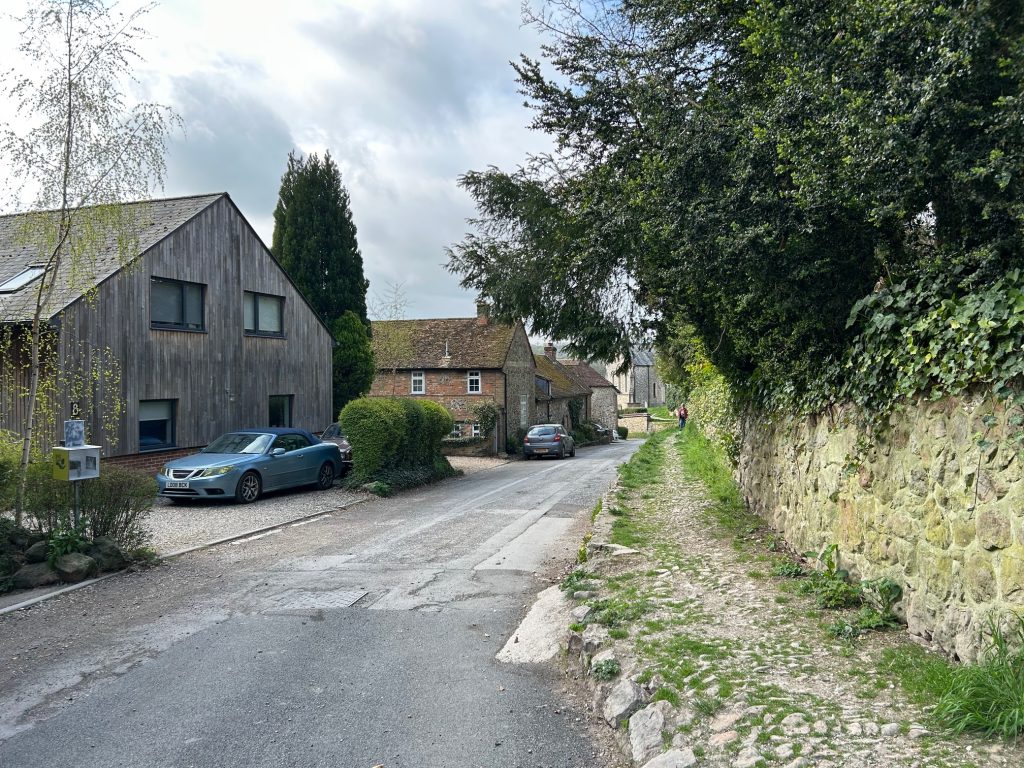
Turn right and walk beside the church. You could take the path at a height here on your right and walk through the church grounds which are delightful.
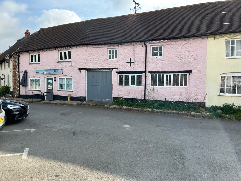
If it’s an evening walk or run, I can smell a pint of Guinness in the Blue Boar from here and I walk the road.
If it’s a morning walk you could enjoy breakfast in the Post Office, and if it’s later in the day, how about tea and cake in the lovely café behind the library and forge. Both places have the most delightful staff.
I’m sure by now you’ll have figured out which bus you’re aiming for. The bus stop is at The Pond.