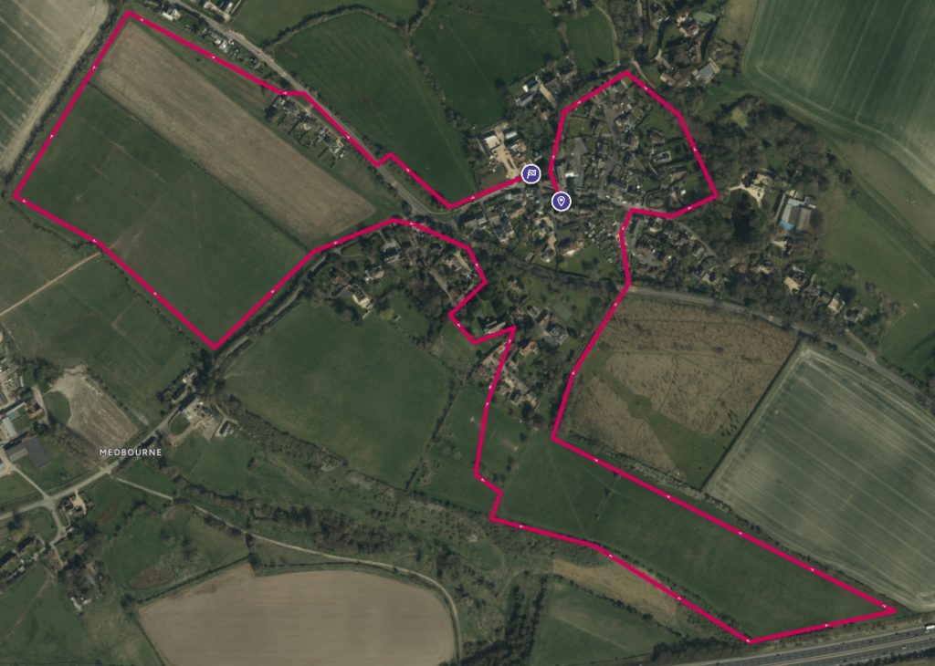
Distance 4k
This is a short walk that every villager has done at some stage.
However, I’m encouraging you to take longer this time, to stop and look around. The village has old buildings and a church, a graveyard and lanes, the places where history and stories are hidden for the most part. This is an opportunity to share with a visitor to the village, as there’s nothing like a good story to enhance a walk.
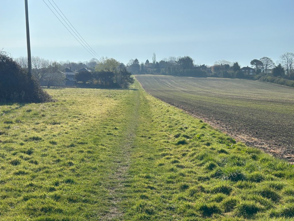
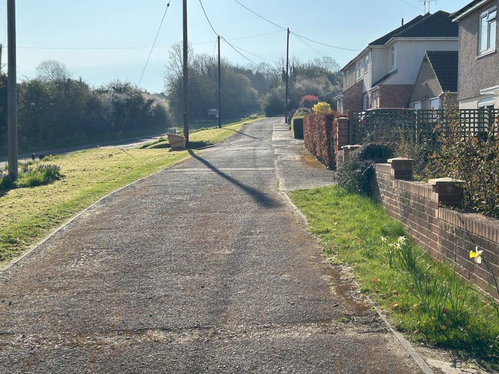
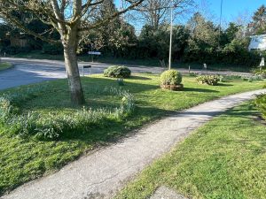
Where to start? The Green is the oldest area in the village. The village was originally focused around the triangular old “Green” to the east, now bordered by some of the earlier village cottages, and extended to the west to All Saints’ Church and Parsonage Farm. The Green was located at the junction of the ancient long distance east-west route known as the Icknield trackway and the north-south route from Swindon to Hungerford, named The Street.
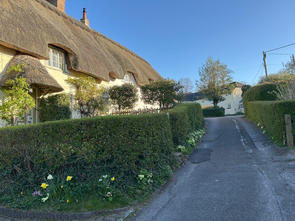
Three beautifully thatched cottages invite you up the short road. The 7th Duke of Marlborough, a black sheep who courted controversy, sold these houses to residents in 1877 to settle debts on Blenheim Palace.
In the past the Green was the common between the houses until someone put up a fence and then everyone followed.
The first house on the right has a layout that shows where horses were stabled and was probably a smithie as well.
The next house #17 was built in the grounds of #16 by Joel Joffe (more about Joel later) for his sister but she never emigrated from South Africa.
At the top of the road, Cobblers’ Cottage #18, was actually two cottages. Cobbling was undertaken here for a wide customer base across Swindon.
Around the corner at the top are two modern houses.
Turn around and follow the lane to the Village Inn. This lane has the honour of being the shortest public way in the village.
The houses on the right are owned by Arkell’s Brewery, as is the pub.
The Village Inn was originally called The Bell and there is a hint to its former identity in the road in which it stands – Bell Lane. In fact, the first Bell stood on the other side of the road before the owner, John Whitling, put up the present building in 1875. The original building, which dates back to at least 1789, was demolished in 1894. After several changes of ownership the pub was eventually renamed in 1982 and Arkell’s bought it in May 1994.
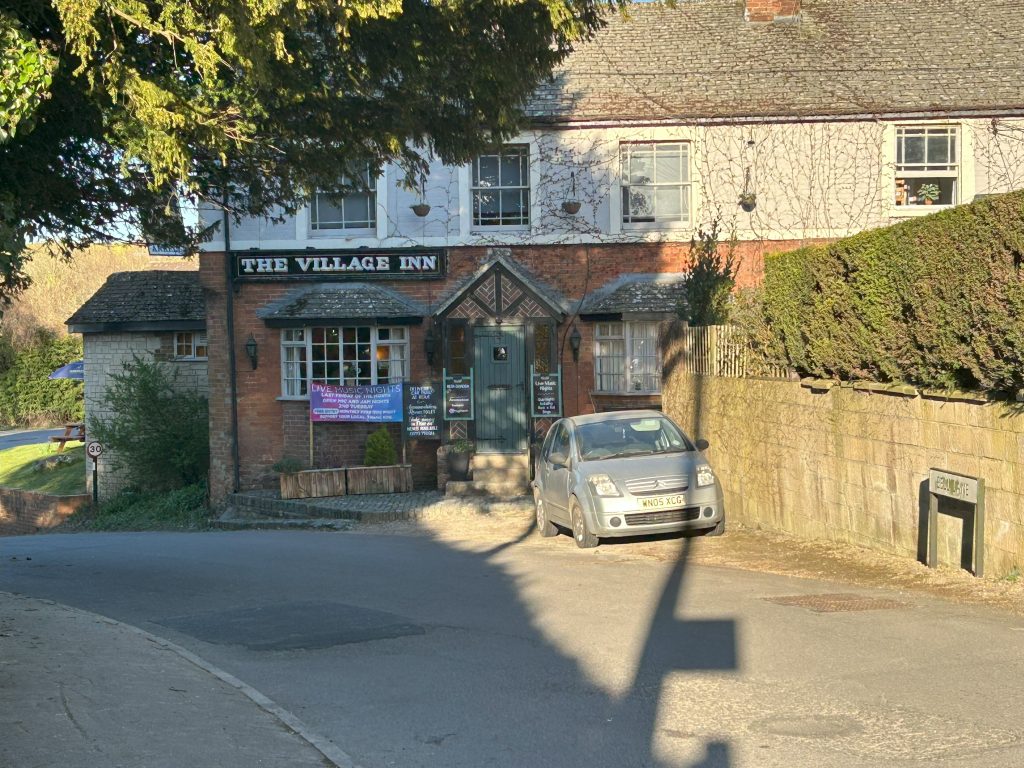
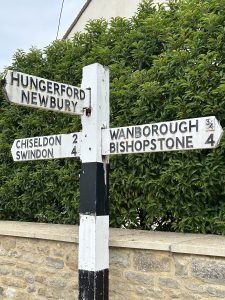
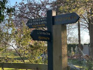
But first, admire the old signpost which is slowly giving up the ghost. A recent bit of amateur engineering has given it life for now. The Parish Council have agreed to replace it, like for like.
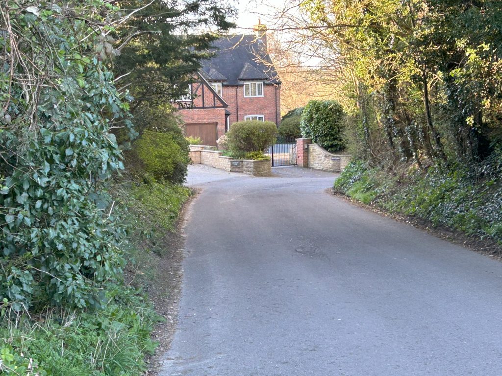
On the far side of the hedge is an old farmhouse. You can get a better view from the entrance. Mike Dixon was the last farmer there. When he retired the house was renamed Rhodes House, and the less said about that the better.
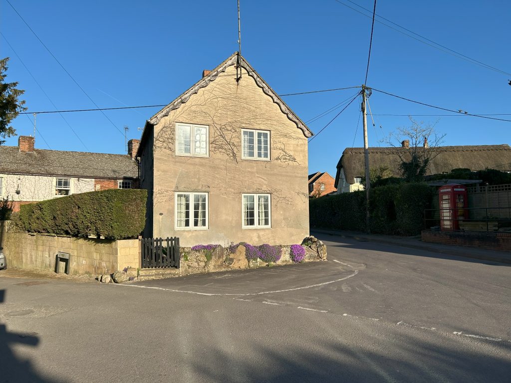
In the middle of the junction is the Toll House. The main road from Swindon to Aldbourne passed to the right of the house and tolls were taken through a window.
This road was turnpiked in 1813. The Toll house was built at its junction with Icknield Way, with toll gates across both roads.
Traffic was horse-drawn in those days, moving at a more leisurely pace.
So, that’s the centre of the village. We’ll now walk down to the left past the Toll House and the Village Inn along Bell Lane.
We’ll pass the house of one of our oldest residents, Kay. She has campaigned quietly to have the pub renamed “The Bell” – too quietly in my view. I suggested a demo with placards and lying prostrate in the road, but she didn’t want to go that far.
There are fine homes on the left-hand side as you walk further down.
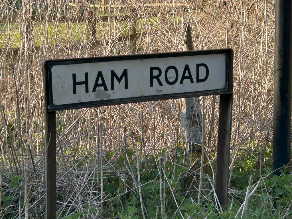
We’ll come to a signpost for Ham Road, named after the road where pigs were taken to market in Swindon or “Swine-town.” This is also the boundary with Wanborough, though most people on Ham Road are active members of Liddington parish. The village should declare a Unilateral Declaration of Independence on Ham Road.
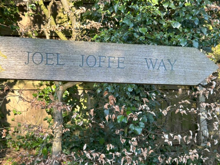
Today, we won’t go to Ham Road, as we’re following the path to the right. It is signposted Joel Joffe Way, and we’ll get to that name in a few minutes.
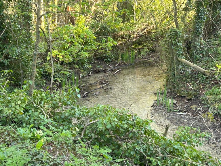
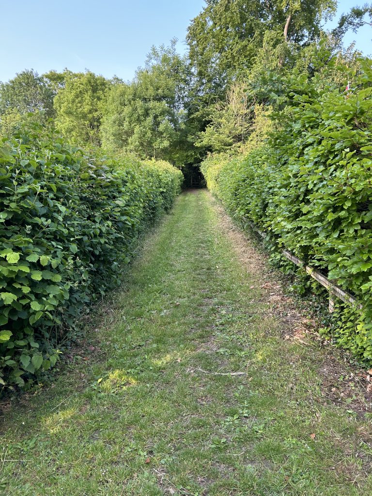
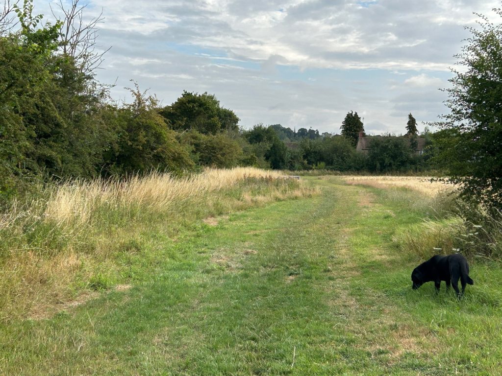
We’ll be walking by the River Lidd on the public path. It’s usually quiet along here, the stream like an orchestra and the birds chattering as the backing choir.
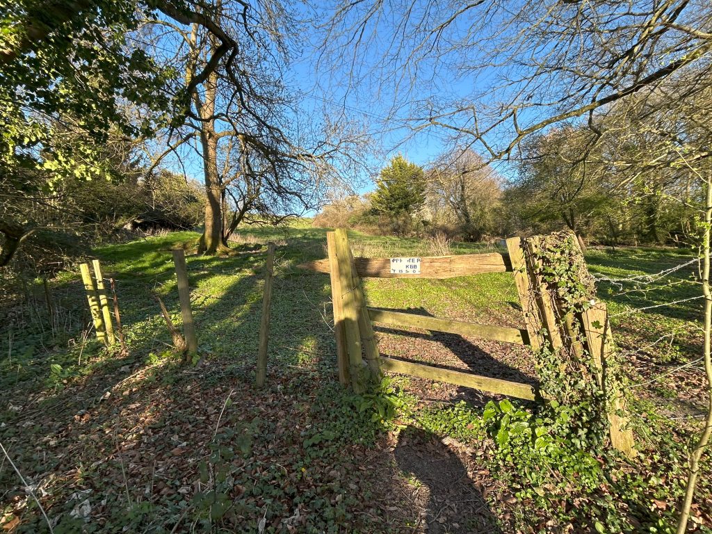
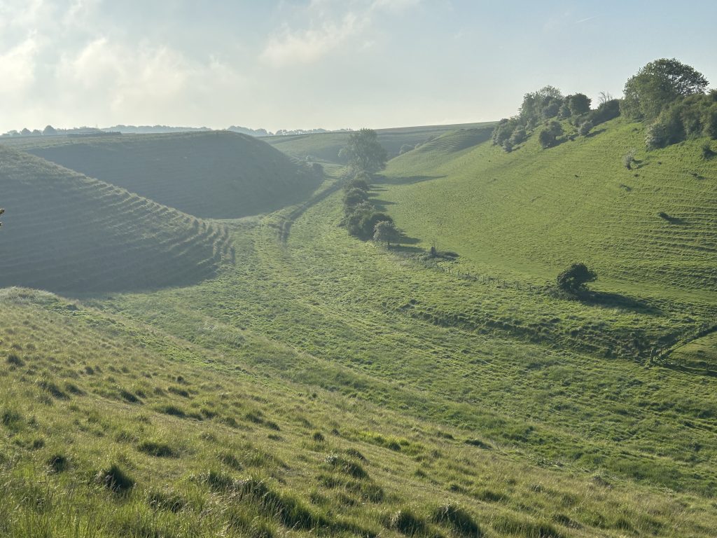
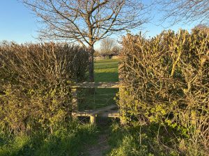
On the left we’ll come across a stile with the remains of a sign on it. That used to be the entrance to the Coombe.
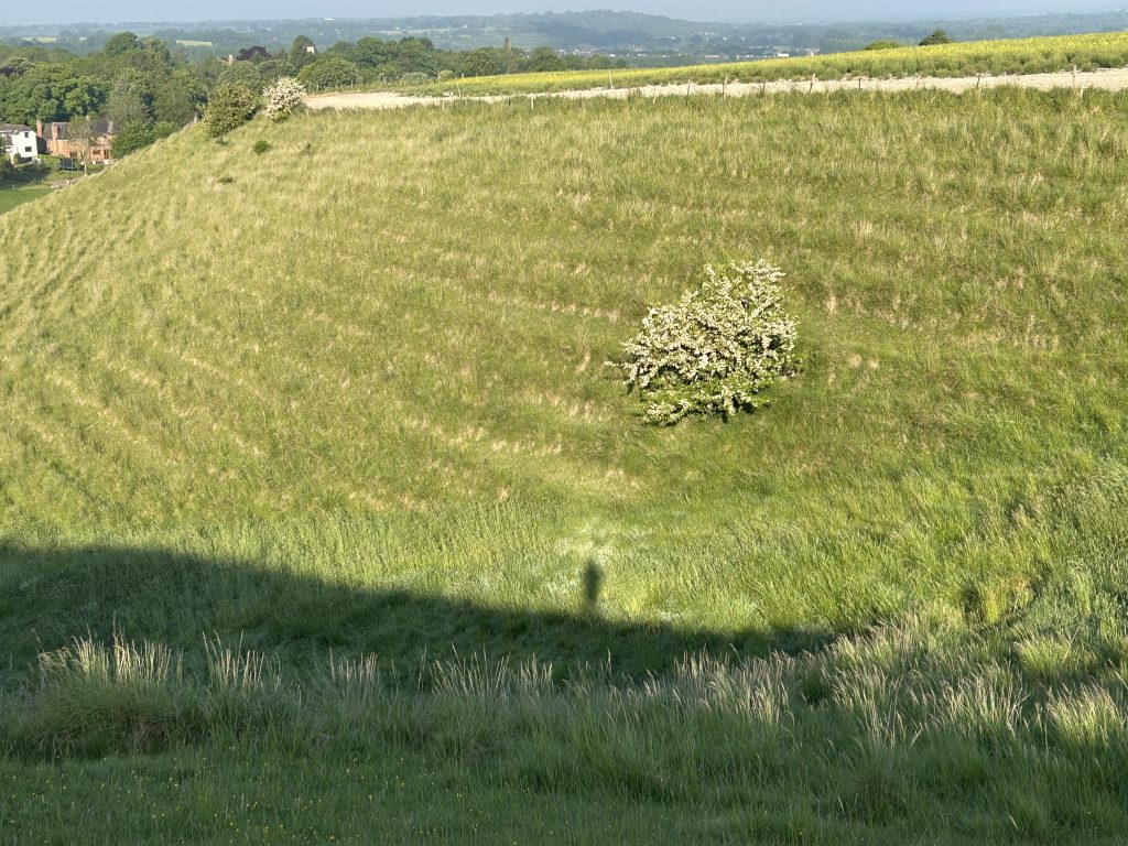
By definition a Coombe is a small valley through which a watercourse does not run. The valley is indented on both sides by lynchets, a feature of ancient field systems. They are uncommonly in horizontal rows and often referred to as “strip lynchets”. The size, location, spacing and number of rows of many strip lynchets indicates that many were man-made.
It is most likely that lynchets were dug to maximise the use of land for agriculture, although they may have had other, ceremonial uses.
For decades this was a permissive path. Some of us have had permission to walk it, and to be honest, even without permission we should walk it as it’s a stunningly beautiful valley with full views of sunset and sunrise from the high points. And it’s on our doorstep.
There are conversations with the estate in Newbury that owns the Coombe to see if we can get permissive access again.
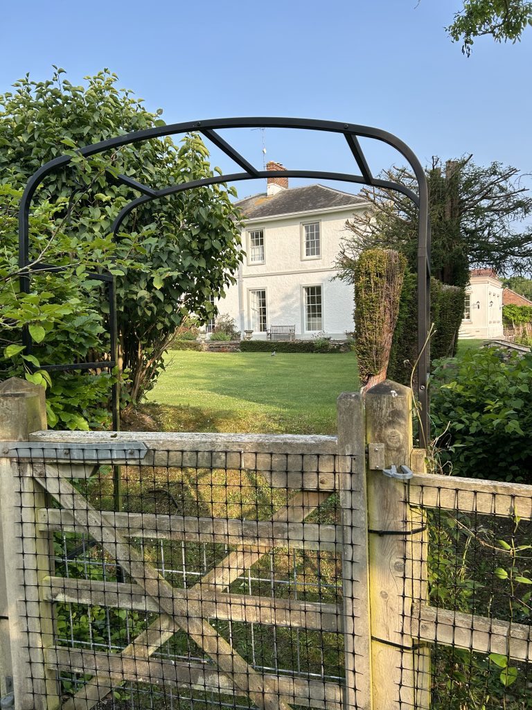
At the end of the pathway, we’ll see the Manor House on the left. That’s worth stopping to admire. It stands on the source of the Lidd or the Liden brook which gave its name to the Parish.
It’s interesting that The Domesday Book records the village as Ludentune (Saxon translation: “The homestead on the noisy stream”) and later, early church records called it “Ludingtun.”
In the grounds of this late 16th century house is a lake which formed the mill pond for the upper of two mills on the brook, both of which have now been demolished.
The 7th Duke of Marlborough sold this house in 1877. That would’ve paid a few debts!
Joel Joffe lived there for many years with his wife, Vanetta, a successful artist. Two wonderful people, both now dead. Joel has many claims to fame, a member of the House of Lords, active campaigner for assisted dying, founder of Allied Dunbar insurance company in Swindon, activist in several charities, an all-round decent man.
Joel was born in South Africa and became a lawyer there. In 1963, he represented Nelson Mandella and six others in the famous Rivonia trial where the expectation was that they would be hanged for subversive activities as members of African National Council and the Sword of Light. Joel managed the defence team around the trial and briefed the barrister, Bram Fischer.
Joel’s book, “The Rivonia Trial,” later renamed “The State versus Nelson Mandella” is required reading. You’ll find second-hand copies for a few pounds and free postage on www.bookfinder.com.
You can read Joel’s obituary: https://www.theguardian.com/world/2017/jun/26/lord-joffe-obituary
You can also hear him being interviewed by Kirsty Young on BBC’s Desert Island Discs:
I was a teenager back in those days and became obsessed with the trial, reading about it daily. The names stayed with me: Nelson Mandella, Walter Sisulu, Bram Fischer, Joel Joffe. The injustice was over-powering for my generation.
In 1964 when the Anti-Apartheid Movement was founded in Ireland, I and my friends were at every demonstration. Our leader at the time was Kader Asmal, later a member of Mandella’s government.
Those demonstrations impacted me to the point that I read everything I could find about African independence movements. Eventually I emigrated to Zambia in 1972, just married, which is a whole other story, but I did realise my dream of visiting many countries in Africa during turbulent times.
I had many a good conversation with Joel and Vanetta about those times when I came to Liddington. I’m sure many villagers could add similar stories.
Joel kept a close relationship with Mandella and the others. After independence he was invited to events in South Africa and Mandella would often point a finger at him and say jokingly: “If you’d done your job, I wouldn’t have gone to prison.”
Finally, an interview on BBC Great Lives featuring Joel Joffe as an expert witness on Bram Fisher is fascinating:
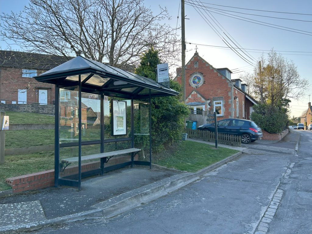
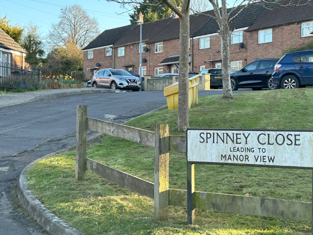
Turn right after the Manor House and follow the pathway to The Street. Turn right and left by the bus shelter into Spinney Close.
The bus shelter featured in a short movie made by village teenagers for the Parish Plan about what should be done for them. As in Beckett’s “Waiting for Godot” where nothing happened twice, those teenagers were prescient.
The video was named after the Parish Chair at the time, a good-natured man, Gordon Wilson. Thus, it was called “Waiting for Gordo” – and though grainy, it’s still a hoot to watch.
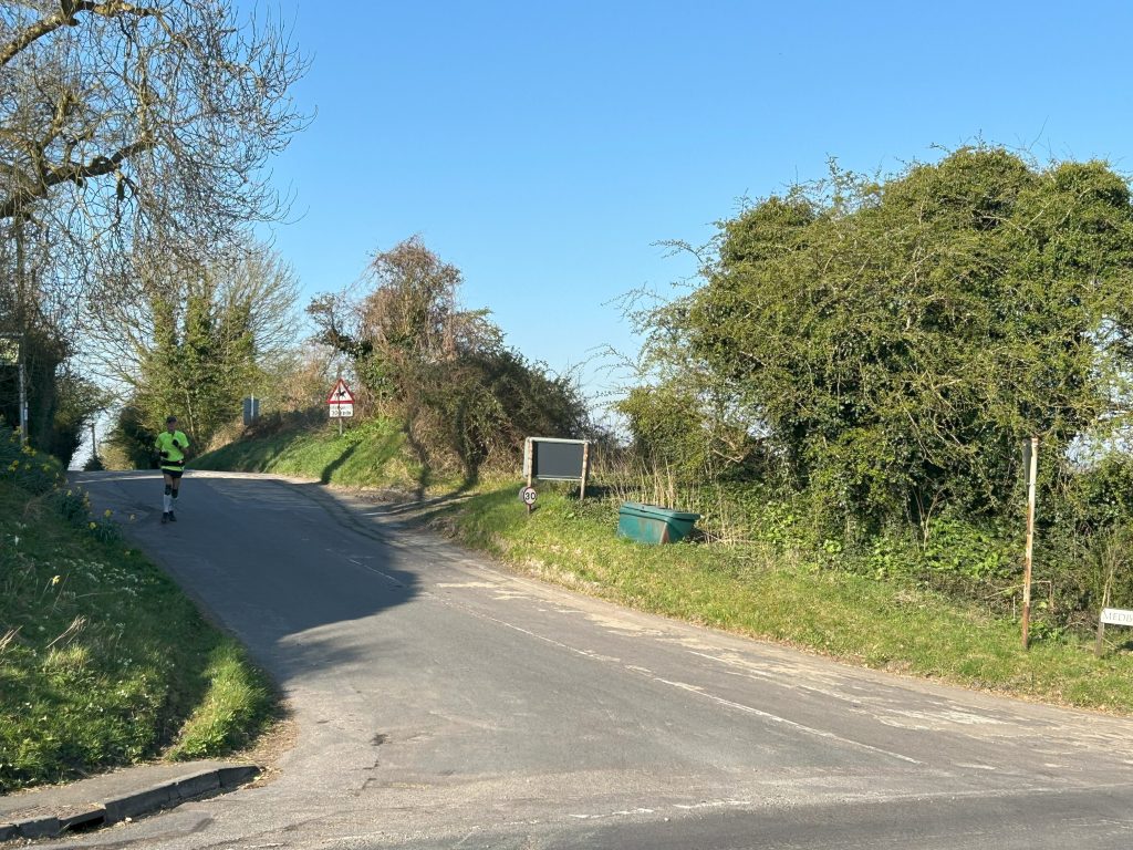
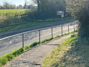
As you walk left by the green in Spinney Close, you’ll see a signpost for Liddington Hill. It’s a short path to the main road, B4192.
Be very careful as the cars start to speed up from your right as they leave the village, encouraged by a 40mph sign to your left. Honestly, who dreamed that one up!
In 1939 the village, unfortunately, was split in two when the B4192 bypass for the Swindon-Hungerford road was built separating the settlement around the Green in the centre of the village from the area around the Church. The vicar at the time wouldn’t allow the road to be built behind the graveyard, and we’re still encumbered by that short-minded decision.
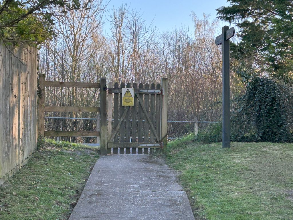
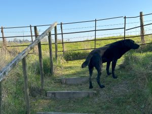
On the far side of the B4192 you’ll see another sign for Liddington Hill. Go down the steps away from the noise of the road.
It feels like a different country – quiet, well-trimmed hedges, a lovely deciduous wood to your left.
You can let dogs and children go free now.
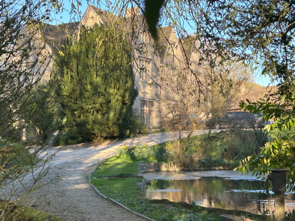
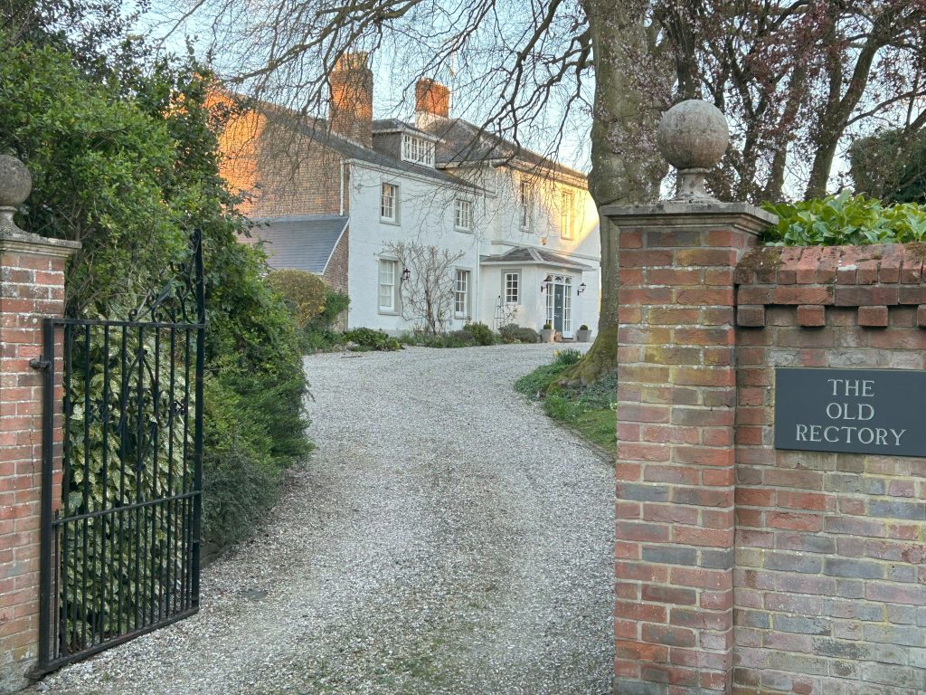
On our right, we’ll pass the beautiful grounds and building of The Old Rectory.
This has been renovated recently with exceptional affinity for the property. I’m sure the owners won’t object if you discretely stop and admire the rendered brick construction, the slate roof, and the beautiful sash windows.
The gardens have been renovated with a walled vegetable area and manicured lawns. It’s breath-taking and so much work in only a few years.
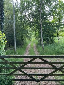
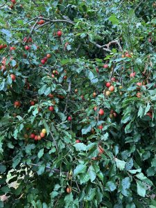
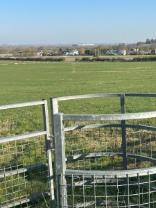
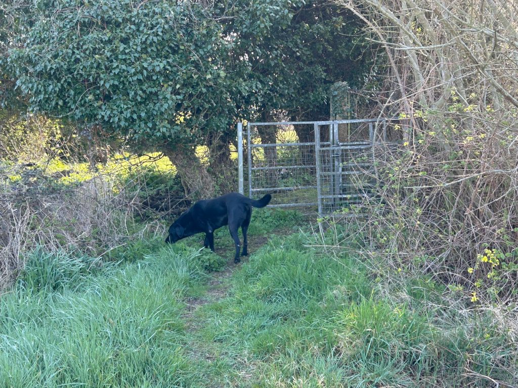
At the end of the path veer left by the signpost and after 20m or so, we’ll come to a gate into a farmer’s field. Enjoy the blush of red and yellow plums just before the gate!
Go left and on to a permissive path around the field. Please watch your dog and do clean up. The farmer uses the grass here for silage and dog poo causes serious illness in cattle.
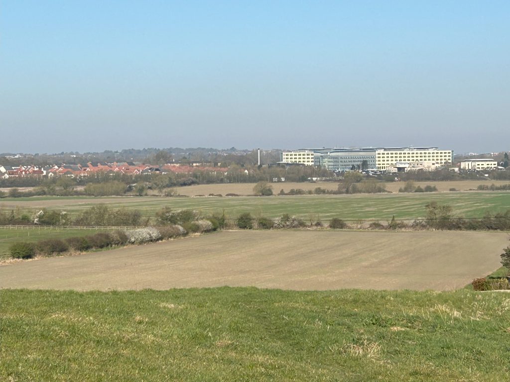
This is a wonderful permissive path around this iconic field with its extraordinary vista opening up to you as you gain height.. We are lucky to be granted access by the farmer, Nigel Warren.
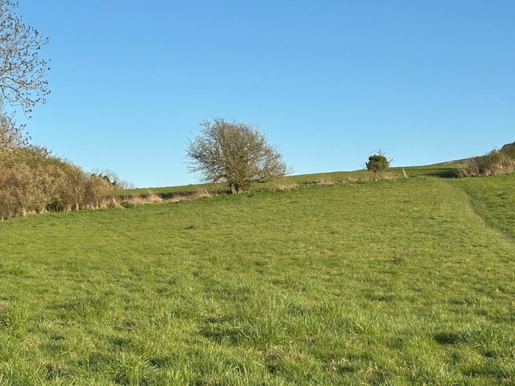

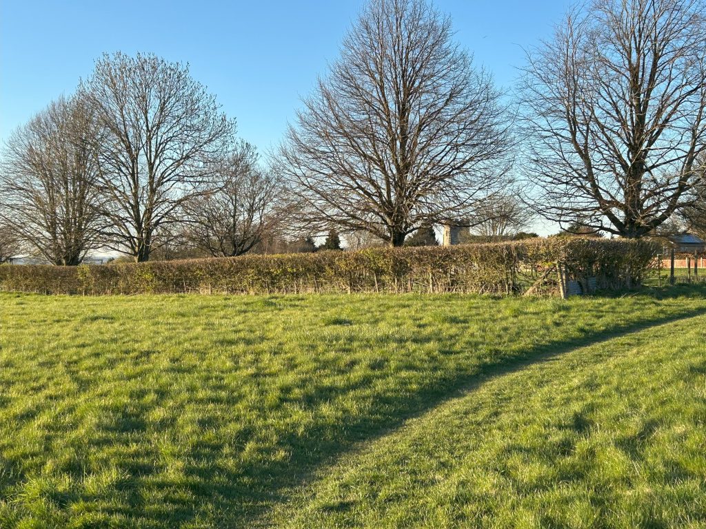
This is our first view of Liddington Hill. The Ridgeway is an ancient route which crosses the Parish from east to west along the top of the chalk escarpment which forms Liddington Hill. In the past this was a long distance routeway along the downs, then a drove way for animals and poultry heading for London. In recent years it has become a famous long-distance footpath.
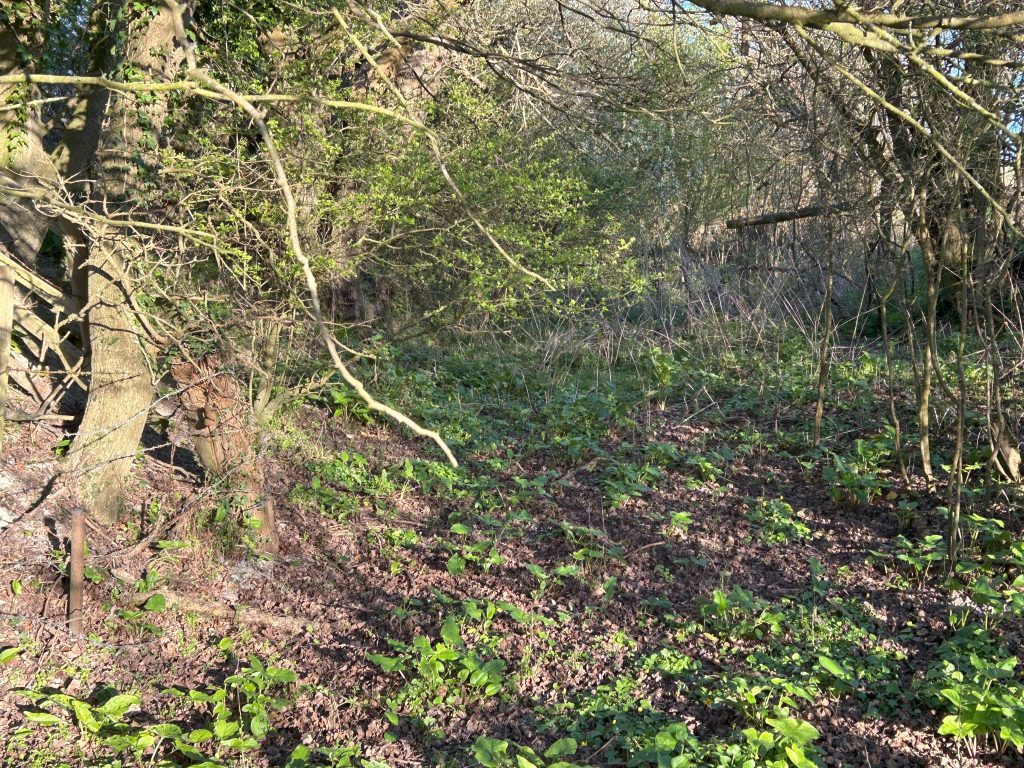
Walking slowly along the hedge to our left and we’ll see an old path in the hedgerow. You can go in and come out further up – children love this hideaway so let them explore.
This was a historic path for the movement of sheep to and from Liddington Hill. It’s overgrown now and on a village plan to reclaim the path and make it more accessible.
Bring a bag, because on the hedge line itself there are the best sloes in Wiltshire – bush after bush, just crying out to become sloe gin for the winter!
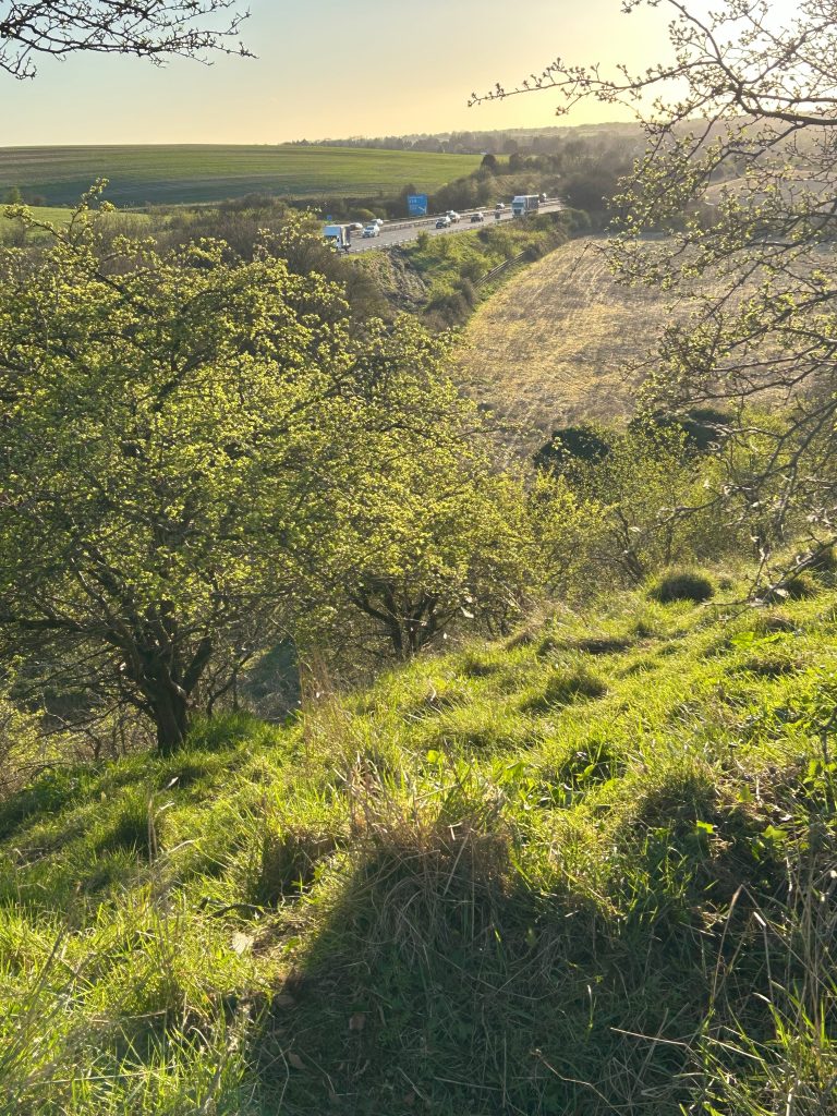
When you get to the end of the field, work out what would’ve been the continuation of this path delineated by he hedge across the M4 into a cultivated field and then the hedge snaking up the hillock towards the Clump.
In the Middle Ages there were settlements along this path but there’s no evidence of them now..
If the Parish Council in the 1960s had any foresight they would’ve insisted on a footbridge over the M4 here and secured the history of the ancient access. Chiseldon village, only a couple of miles up the road, fought hard successfully for such a footpath bridge.
Go right to the next corner of the field. In front of you is a lovely valley going nowhere now, known locally as The Dell, again a pre-M4 shepherds’ path. You can trace the outline of where it would’ve gone up to Liddington Hill over seventy years ago.
Along the hedgerow and above the valley to your left you should see and hear birds around you, the lark ascending, raptors seeking lift from the uplift heat in the valley and then diving for prey, lots of small tits and robins. It’s a gorgeous walk.
In early morning I’ve regularly seen roe with their white bobbing tails and little muntjac scuttling like lost dogs. Only on a few occasions have I seen fallow with an inverted horseshoe on the their rumps. That’s three of the six deer in England. Only red deer, chinese water deer and sika are too shy for this part of the country.
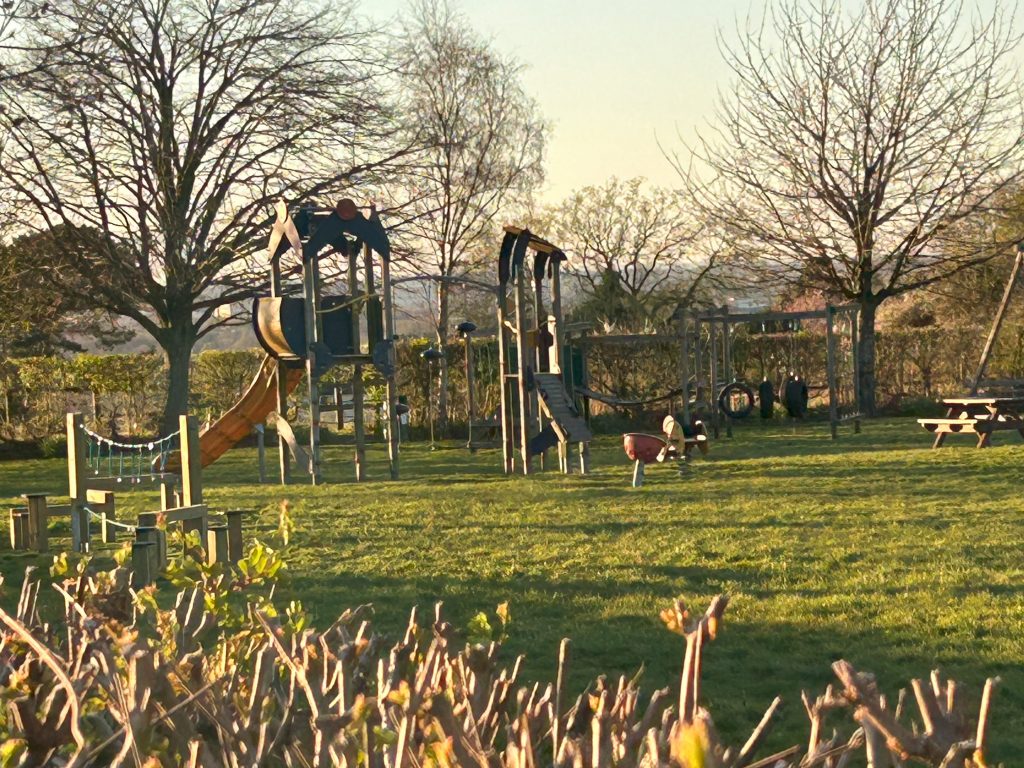
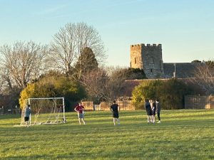
We’ll see the playing field off to our right in front of the church from here. The permissive path will take us to the corner of the play area.
Left along the fence, counting five trees and we’ll come to a stile. Over we go, and we’re in the playing field.
Hopefully, there will be children playing on the equipment and kids playing soccer. It’s a joyous part of the village with the attractions designed for young people.
Align with the two posts of the goal with the far fence and that’s where we’ll go next. Go straight through.
There is another entrance to the far left into the graveyard. Don’t go that way, as we’ll catch the church and graveyard later.
The path follows an obvious loop, passing three houses of note. On the right is Parsonage House and on the left is The Old Barn.
My first visit to Liddington was in 1993. A close friend lived in the Old Barn. Her daughter was christened in the church so I’ve a long relationship with Liddington.
Parsonage House has been sympathecially renovated front and back by the current owners and what a change.
If you fancy a detour, a lane goes between Parsonage House and The Old Rectory and if the season is right, there are gorgeous yellow plums as bounty.
Do admire the dry stone wall by the path.
Continue to the end and view the back garden of Parsonage House, wonderful work in progress. I get greenhouse envy there!
Turn back to where the lane started and we’ll continue our walk.
Here is another view of the The Old Rectory. You can see the elegance of the house, the striking colours of house and mature trees against the sky and hill, a beautiful place.
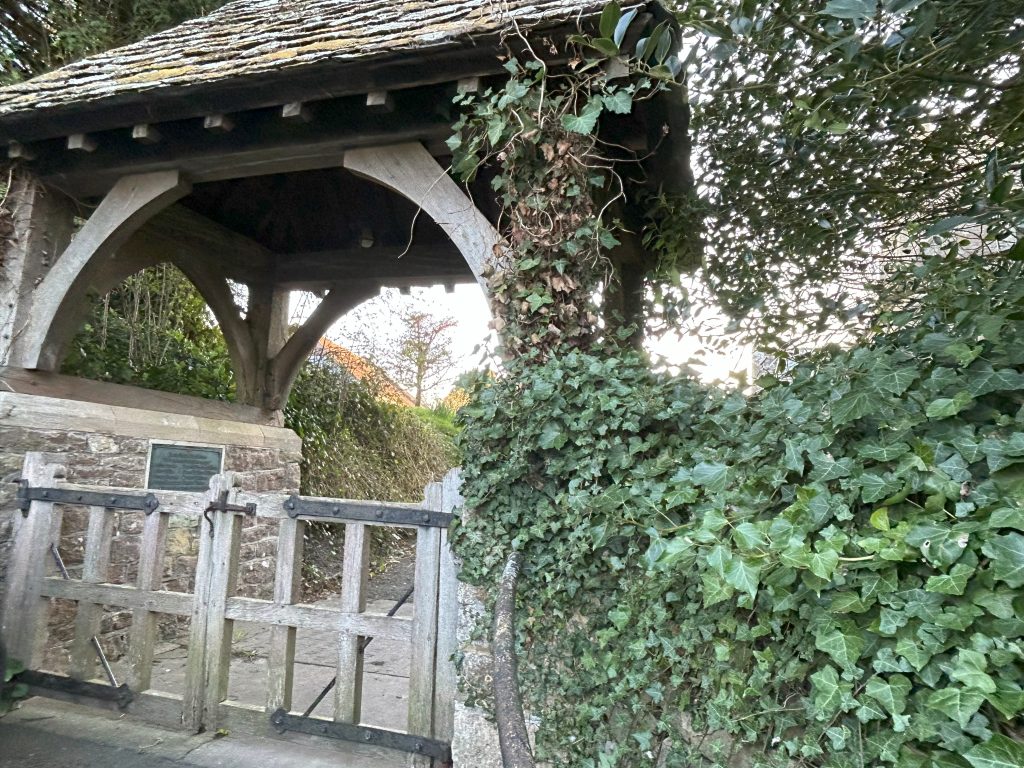
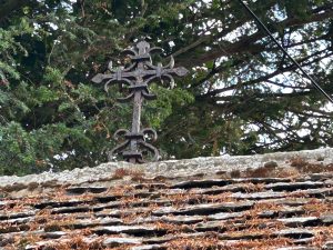
We now have the Lych Gate on our left with a Latin cross on the roof. It was originally thatched.
Lych is Anglo-Saxon for corpse. The 1549 Book of Prayer required the priest to come to the Lych Gate to receive the coffin and commence the burial service.
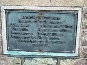
The Lych Gate features a plaque on the south wall dedicated to eight Liddington soldiers. It always feels good to stop here and remember those young men.
The oldest building in the Parish is the Church of All Saints, and despite the restoration in the late 19th century much of the 13th century building is still visible in the chancel and north aisle.
The square, three stage west tower dates from the 15th century and the whole church building sits comfortably in the church yard.
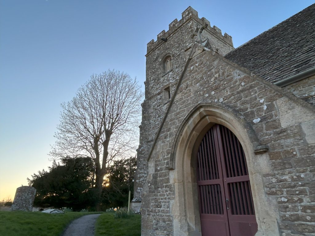
If the church door is open, it’s well worth a calming sojourn inside.
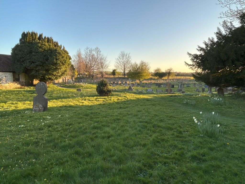
Follow the path to the right behind the church with the graveyard on your left. The roll-call of names on the tombstones is a legacy to the old farming families and residents of the village.
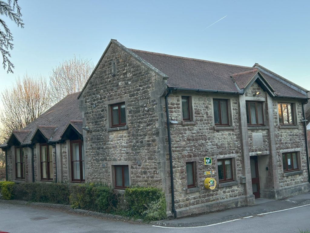
Now we come to the Village Hall, a huge community project built some thirty years ago to replace the old 1851 school.
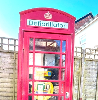
Some of the old parts of the school have been incorporated into the new building. The hook to tether the schoolmaster’s horse is hidden behind the blindingly bling fibrilator – a current controversy.
Liddington Village Hall is more than just a venue; it is a charming and versatile community space designed to accommodate a variety of events and activities. In many ways it is the hub of the village.
Walk downhill and around to your left on the path beside the B4192. It’s not far to the crossroads.
Go no more than 10m to your left towards Badbury and cross that road into a farm field, known affectionately by the villagers as The Horse Field.
You can walk to the left and around the field, a regular walk for dogs and horses every day. It’s a permissive path granted by the Peploe farming family.
At the first corner there is a gate where the official path crosses the field diagonally and into a tilled field. The locals don’t use that path as there’s no sense in walking across the crops.
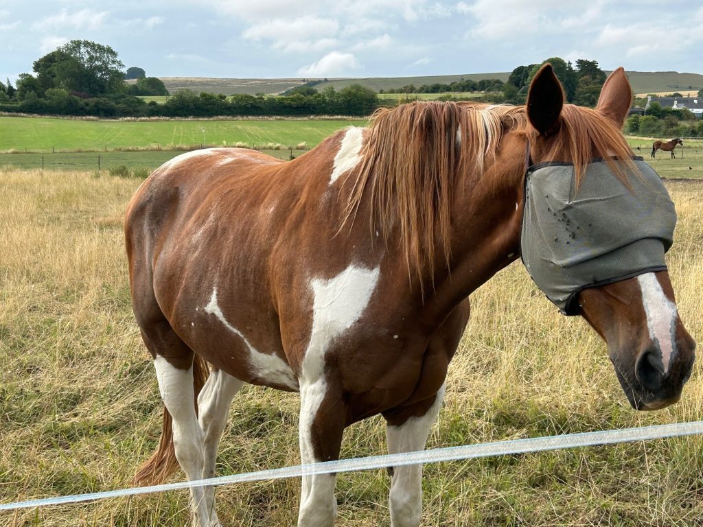
Enjoy the horses further down the field. They’ll come to say hello and you can offer them a handful of grass but nothing else – no dog treats or fruit or anything else!
There are some serious blackberry bushes at the bottom of the field and on the hedge in the next field. Fill your boots, as they say!
Lots of sloes as well, the Autumn fruit of the beautiful blackthorns which are wonderful in flower along here in Spring.
At the next corner, turn right and follow the path about halfway up the field beyond the telegraph post. You are aiming for the corner to your left near the road where the two hedges converge.
Beyond that swing gate you can fill your pockets with plums in the season. I wonder why there are so many wild plum trees in the village?
Walk along by the cottages as far as you can see and then down a footpath on your left.
With care. cross the B4192 to the steps on the far side.
Before you hike the few steps to the path behind the hedge, take a moment to admire Jubilee Gardens on your right.
Up the steps now for another vista across the fields. The path goes along behind the roadside hedge, another secret world, known as David’s Path after a previous chair of the Parish Council, David Lomax. His work on this path is celebrated in this extract:
The old iron fencing is warped by curious cattle,
wet noses agog who leaned in from Mike’s Field,
but there is purchase to stare, and stare again,
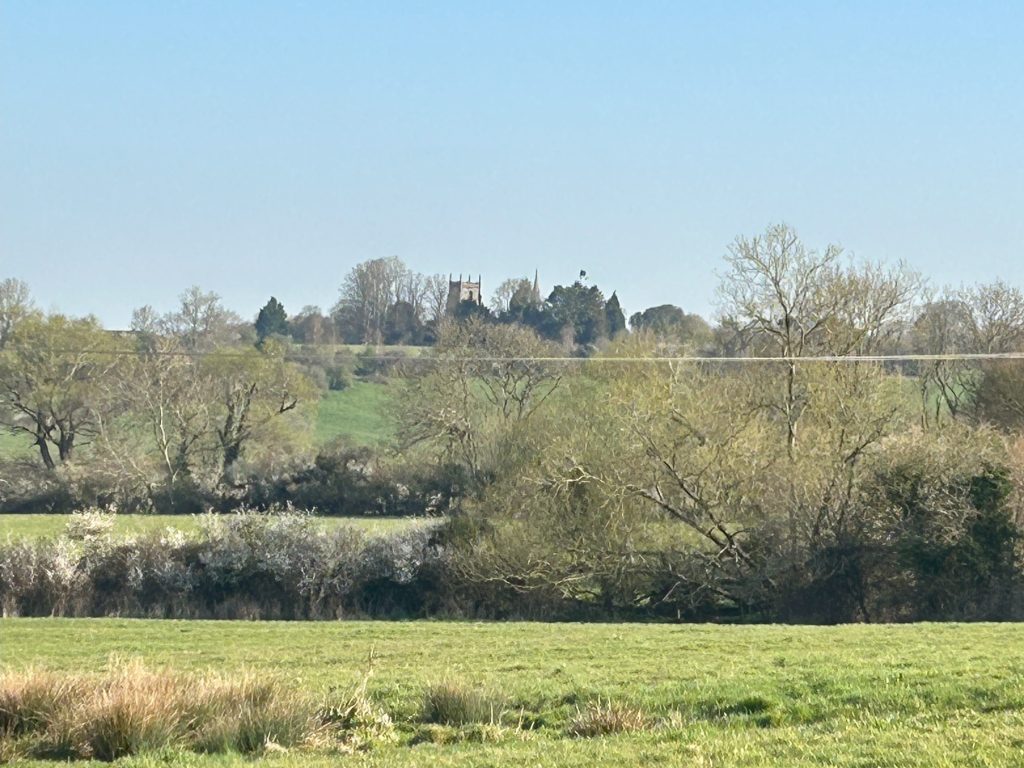
view the scarp by St. Andrew’s spire and tower,
the grass and crops like waves across the drift,
the family of roe watching you watching them,
and sweep your eyes to where the kite
and the buzzard reenact an aerial battle.
The world is spinning around this refuge,
passing time, time passing,
the pretence that we’re in slow motion
while everything beyond is in a flux of change.
At the end of David’s Path, we’ll exit to the lovely planters in the Jubilee Garden. At Christmas, this is where the Big Christmas Tree stands with lights and a warm welcome to the village.

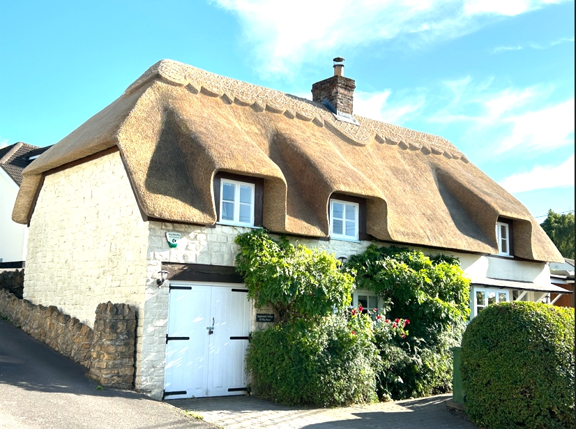
Follow the road back to the Village Inn in the distance. But before you get to the pub, stop and admire the magnificent thatch on the house on your right. A Master Thatcher, Garry Martin, created this beautiful piece of art over months and months:
There’s no nod to the modern here
just layer upon layer of wheat straw
hand-pinned with split hazel and willow sticks,
knit one purl one to trap the air bubbles
in a set that began with last year’s ricks.
Then the last days, wisps around each rod
until the ridge board, adorned by a necklace
in perfect proportions, the tighter shave
to trim and shape before the encasement,
the sweep of straw and he’s gone next day.
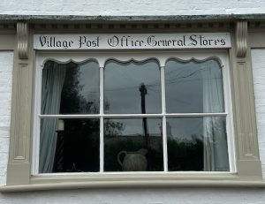
This is the old Post Office and General Store, closed for many a year.
Will, a craftsman, restored the timbers and the old sign as a lovely reminder of our village’s history.
And finally, we are back to where we started. And there’s nothing like the sight of a defibrillator to end a walk, especially when you’re still standing!
Converting the old phone box was a mammoth task undertaken by villagers: Geoff Hale and David Lomax. It looks really good.
And now we’re off to the Village Inn for a pint or a cuppa!